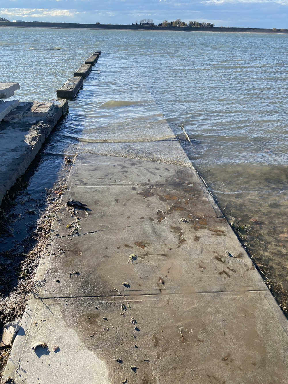
NEH funding supported the community meetings that established core values for The Atlas of Drowned Towns. Image courtesy of The Atlas of Drowned Towns.
During the 20th century, communities throughout the United States were displaced by the damming up of rivers and creation of reservoirs—this was particularly true in rural areas of the American West. The Atlas of Drowned Towns seeks to preserve the history of these communities through a digital, publicly accessible archive and interactive map. The project was initially created with funding from an NEH grant, which helped project director Bob Reinhardt develop a method for identifying and recovering the history of these places. A cooperative agreement with the U.S. Army Corps of Engineers (USACE) has breathed life into the project, providing support for digitization, digital storage, website development, and community engagement.